
AUTONOMOUS · AI VISION · REAL-TIME
AI-Driven Autonomous Drone System
Aerial computer vision that surveys large areas on its own and feeds live intelligence to your operations team.
Overview
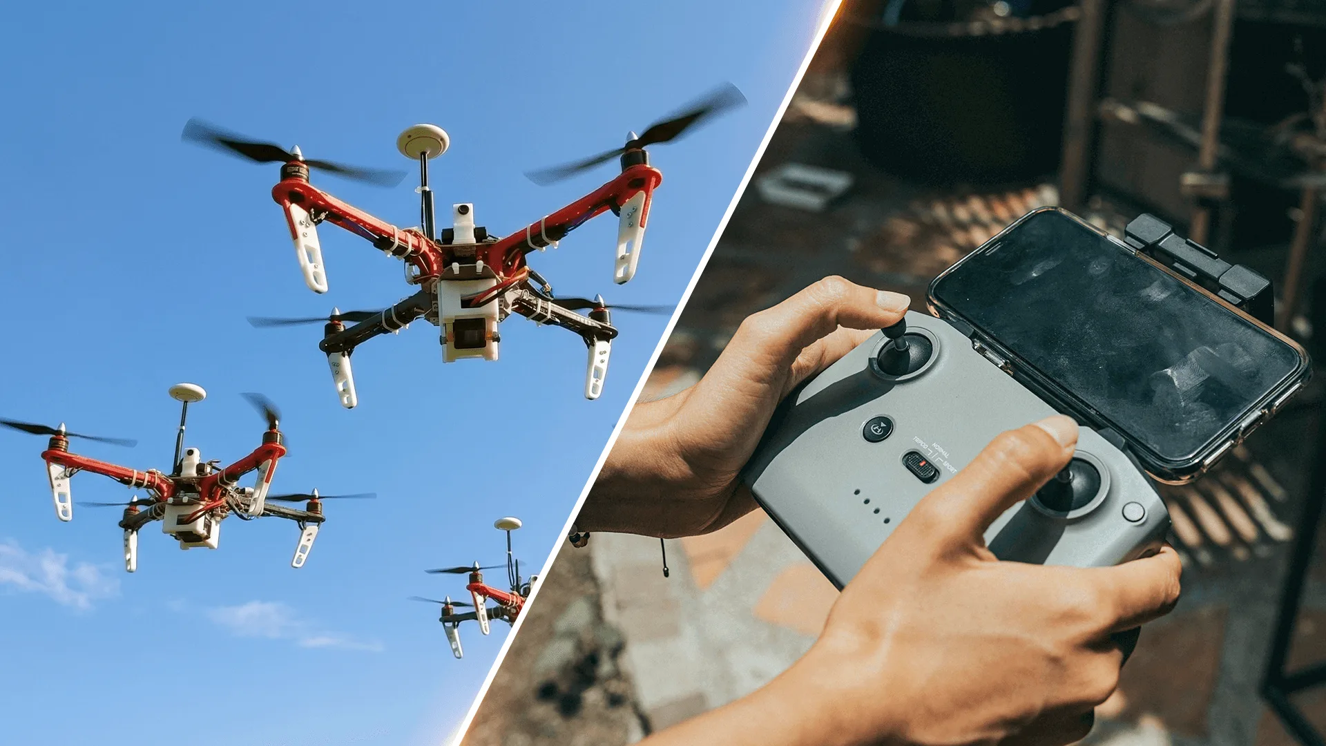
Watching a large site from the ground is limited by what people can see and how many of them you can deploy. Our drone platform surveys predefined zones autonomously, detects and tracks objects from the air, and streams what it finds to a real-time dashboard.
Object detection and tracking run on edge compute on board the drone, with cloud sync for storage and analytics. It can be combined with ground-based vision systems for full event intelligence, and it has been deployed on Tata Telecommunications projects, on university campuses and at events.
Key Highlights
Autonomous Navigation
Flies predefined zones on its own using GPS/GNSS.
Real-Time Detection and Tracking
YOLO-based or custom object-detection models run on edge compute on board.
Live Operations Dashboard
Detections stream to a real-time dashboard for the operations team.
Aerial and Ground Vision
Pairs with ground-based computer vision systems for complete event intelligence.
Cloud Analytics
Data is stored in the cloud for analysis after the flight.
Scales to Fleets
The architecture extends to multi-drone deployments.
How It Works
- 1
Define Zones
Set the zones the drone needs to cover.
- 2
Fly
The drone flies those zones autonomously using GPS/GNSS.
- 3
Detect
Onboard AI detects and tracks objects in the live video.
- 4
Act
Detections reach the operations dashboard in real time.
Applications
- Event monitoring and crowd intelligence
- University campuses (research and operations)
- Telecom infrastructure projects
- Large-area monitoring and surveillance
- Corporate demonstrations
Technical Specifications
- Navigation
- Autonomous, GPS/GNSS, predefined zones
- Vision
- Onboard camera modules; object detection and tracking (YOLO / custom models)
- Compute
- Edge AI on board
- Connectivity
- 4G / Wi-Fi
- Data
- Real-time dashboard with cloud storage and analytics
FAQ
Does the drone fly by itself?
Yes. It flies predefined zones autonomously using GPS/GNSS.
What can it detect?
It runs object detection and tracking models on board, either YOLO-based or trained for your use case.
Where has it been used?
On Tata Telecommunications projects, on university campuses, for event monitoring and in corporate demonstrations.
Can it work with ground cameras?
Yes. It is designed to combine with ground-based computer vision systems for full event and area intelligence.
Need Eyes Over a Large Site?
Tell us what you need to monitor and we'll scope a drone deployment.
Talk to Us